Rio Santa basin HOBO stations
Description
HOBOs precipitation sensors installed in the frame of the AgroClim Huaraz project.
The study area spans a west-east transect from the Cordillera Negra to the Cordillera Blanca at the latitude of the city of Huaraz. Therefore, the locations of the five HOBO stations are aligned along this transect and cover different altitudes. All stations started measuring 2016 and are still operating.
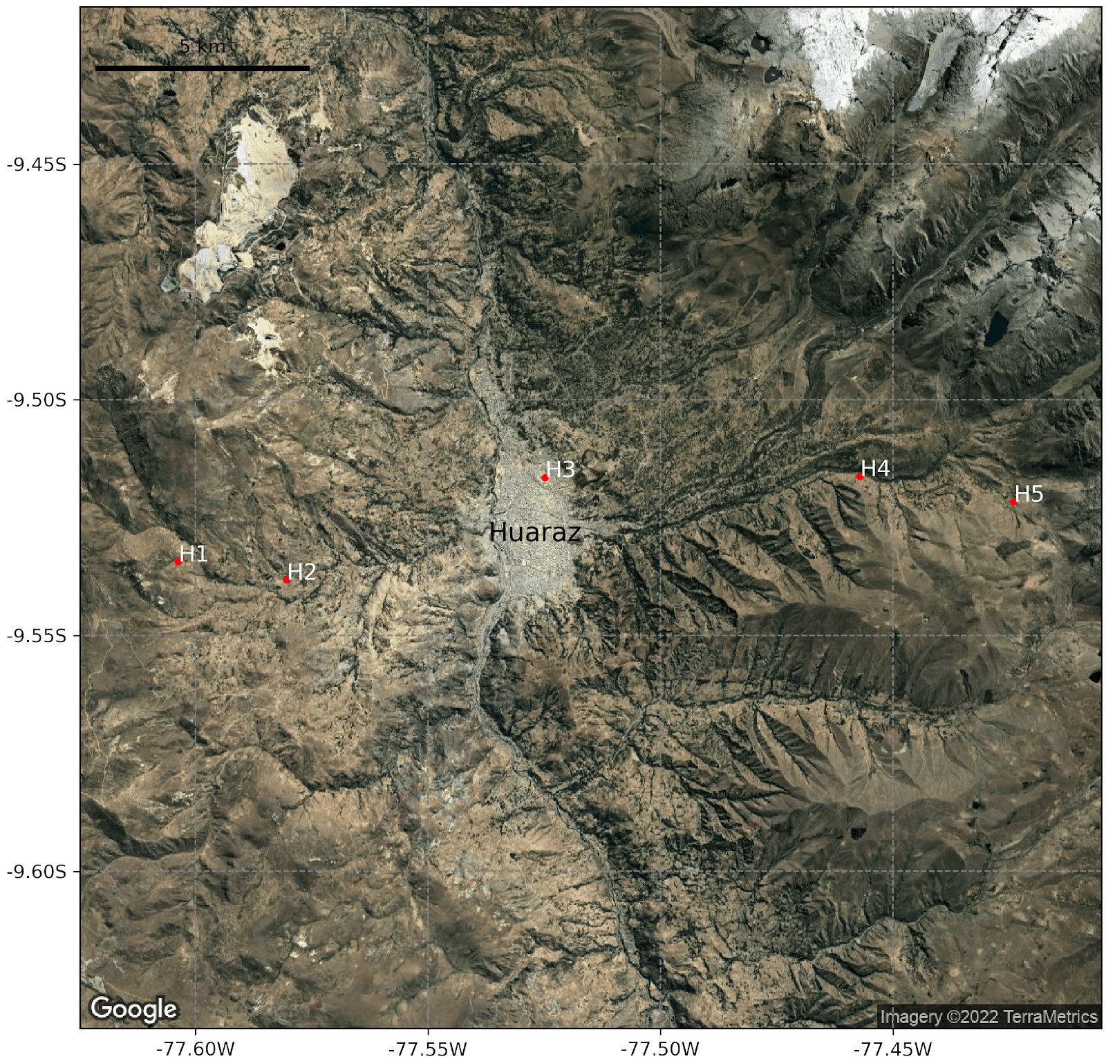
Station locations in the Rio Santa basin, Peru.
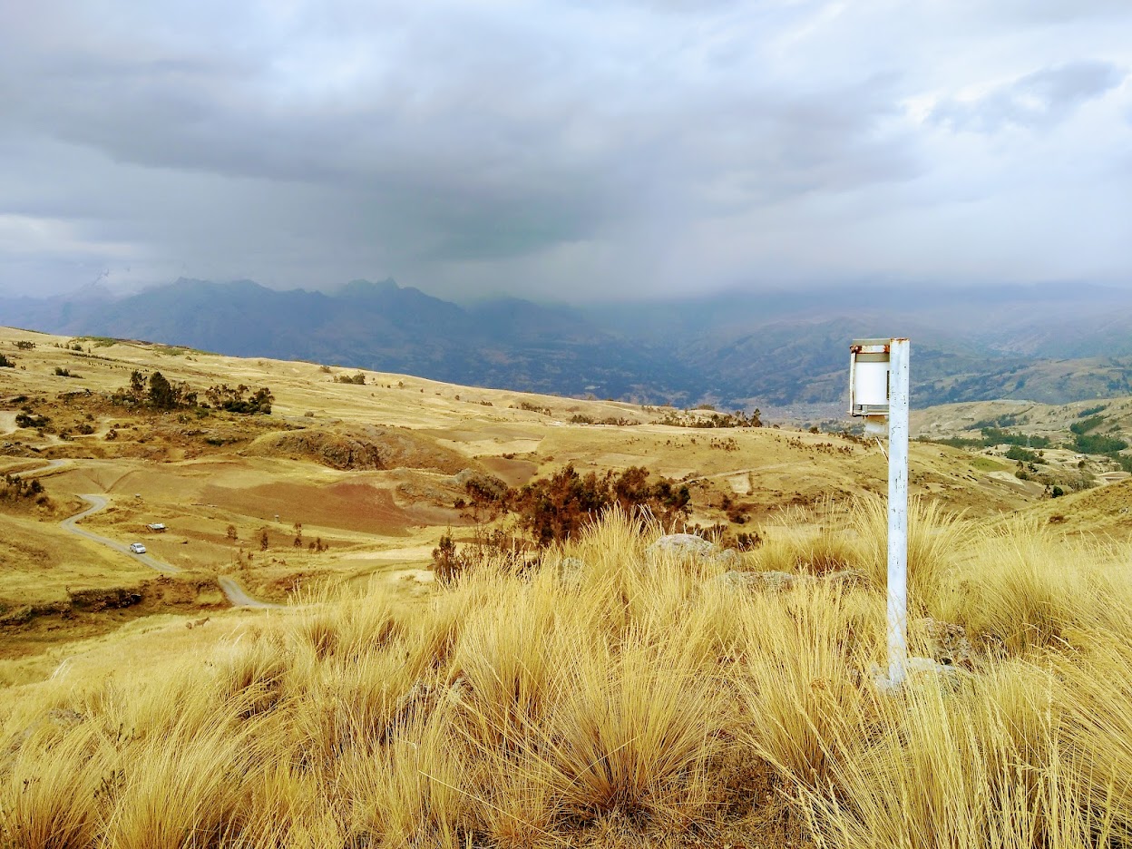
HOBO Station Cerro-Carrachuco
Instrumentation
HOBO® Data Logging Rain Gauge RG3-M with 0.2 mm resolution. See the manual for more information.
Locations
| ID | Station | Latitude | Longitude | Altitude (m a.s.l) | Start Date |
|---|---|---|---|---|---|
| H1 | Cerro-Carrachuco | 9.534315°S | 77.603730°W | 4010 | 2016-07-22 |
| H2 | Chincay | 9.538151°S | 77.580401°W | 3638 | 2016-07-22 |
| H3 | Universidad | 9.516530°S | 77.524860°W | 3073 | 2016-07-22 |
| H4 | Paquishca | 9.516219°S | 77.457132°W | 3473 | 2016-07-26 |
| H5 | Jancu | 9.521601°S | 77.424052°W | 3931 | 2016-09-15 |
Datasets
Raw data is not available due to inconsistencies in thaof data structure. The preprocessed data contains all stations in one file that has been unified to 30-minute sums. The number of tippings is converted to mm by multiplying it by 0.2 mm/tipping.
Due to unrealistic values some data is excluded:
- Cerro-Carrachuco 2017-09-01 to 2017-12-06
- Chincay 2019-12-01 to 2021-08-19
From 2019-10-23 13:00:00 to 2021-09-16 02:00:00, Universidad AWS rain gauge data is used instead of the original HOBO station. The change in location is only marginal.
No further quality checks applied. For the RAWDATA or the original .hobo files (requires free HOBOware software) please contact Fabien Maussion